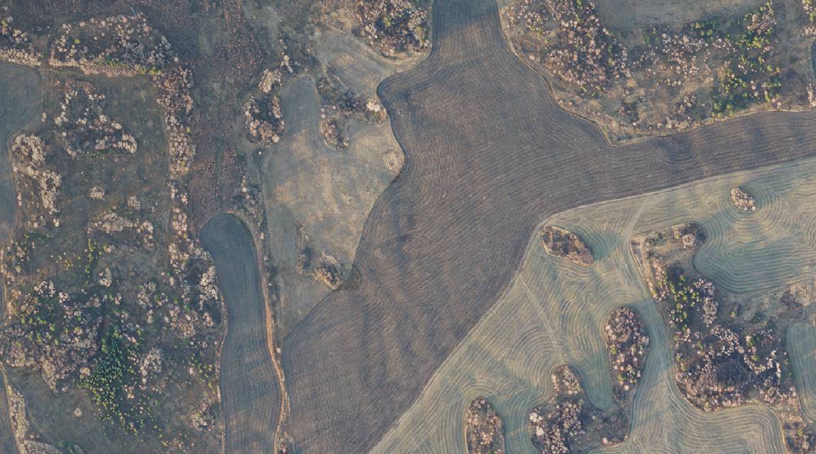
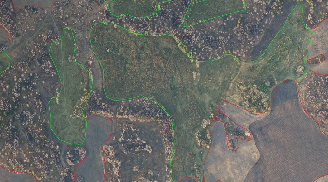
Determination of the fields contours, creating a vector layer with the boundaries of agricultural land
Aerial photography to determine the contours of fields and create a vector layer with the boundaries of agricultural land


Project targets:
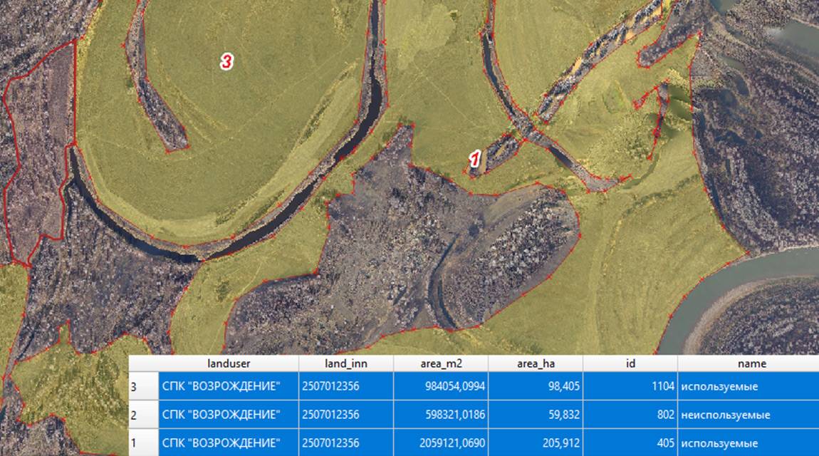
Results: